Original 1937 British Isles Wall Map
$120
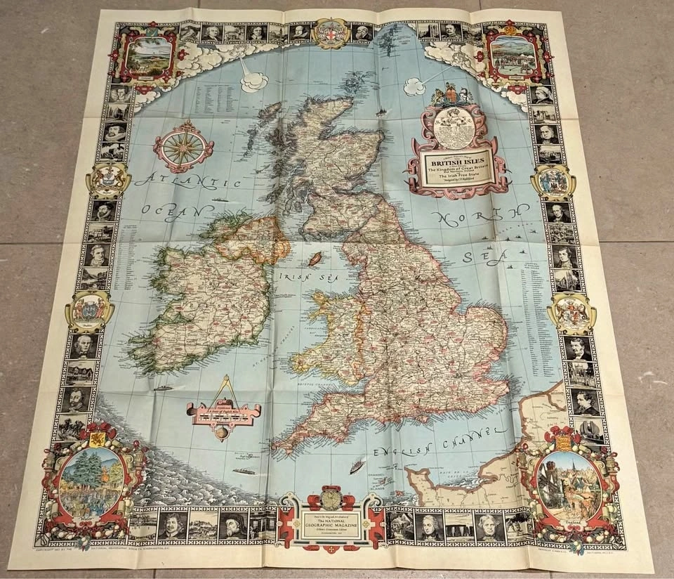
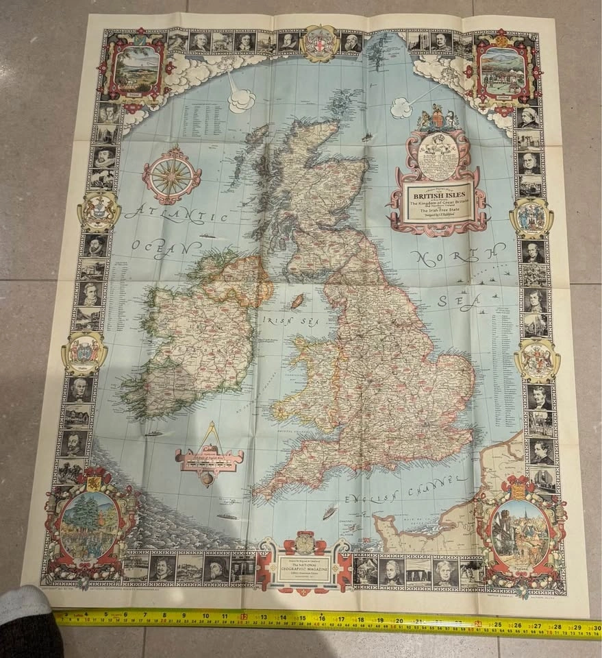
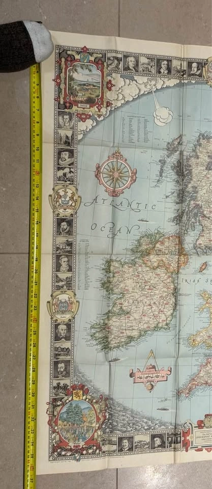
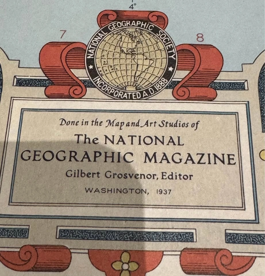
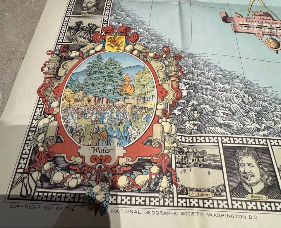
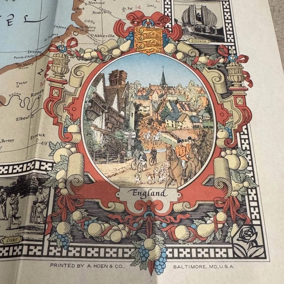
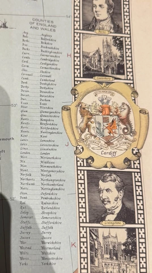
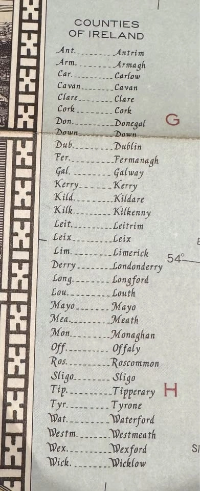
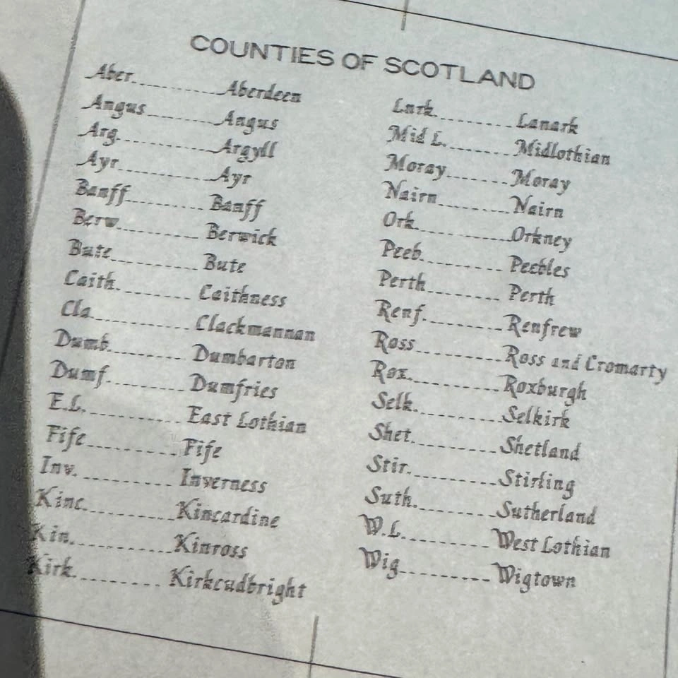
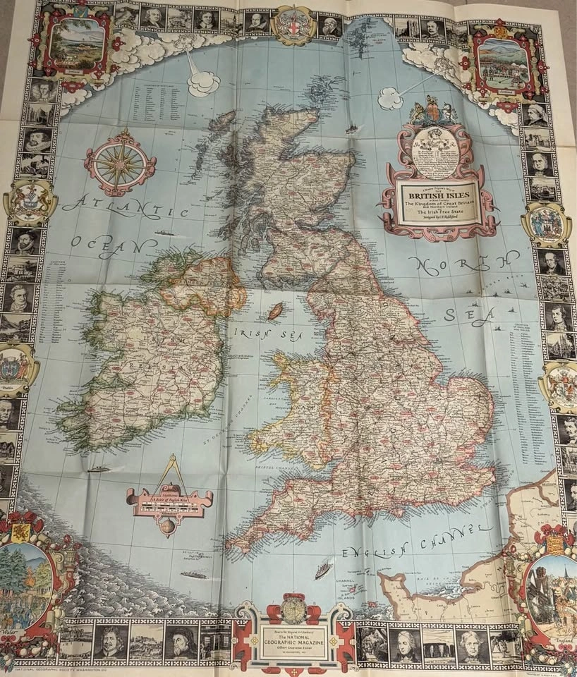
Original 1937 wall map of the British Isles, produced prior to the outbreak of World War II. Shows historical political and geographic boundaries of Great Britain and Ireland as they existed in the late 1930s.
Authentic vintage paper map with expected age-related wear, including creases, edge wear, and minor corner loss consistent with an item over 85 years old. This is not a modern reproduction, but an original period piece.
A fascinating display item for:
• History and military history enthusiasts
• Home office or study décor
• British or Irish heritage collectors
• Libraries, classrooms, or traditional interiors
Measures approximately 36 x 30 inches.
Displays very well when framed or matted.
Open to offers.
Pickup preferred.
Happy to answer questions or provide additional photos.
Thank you for stopping by, feel free to check out any of my other listings, all the best!


0 chats0 favorites7 views